


Conservation Tour Highlights Projects in the Cannon River Watershed

Updated: Sep 3
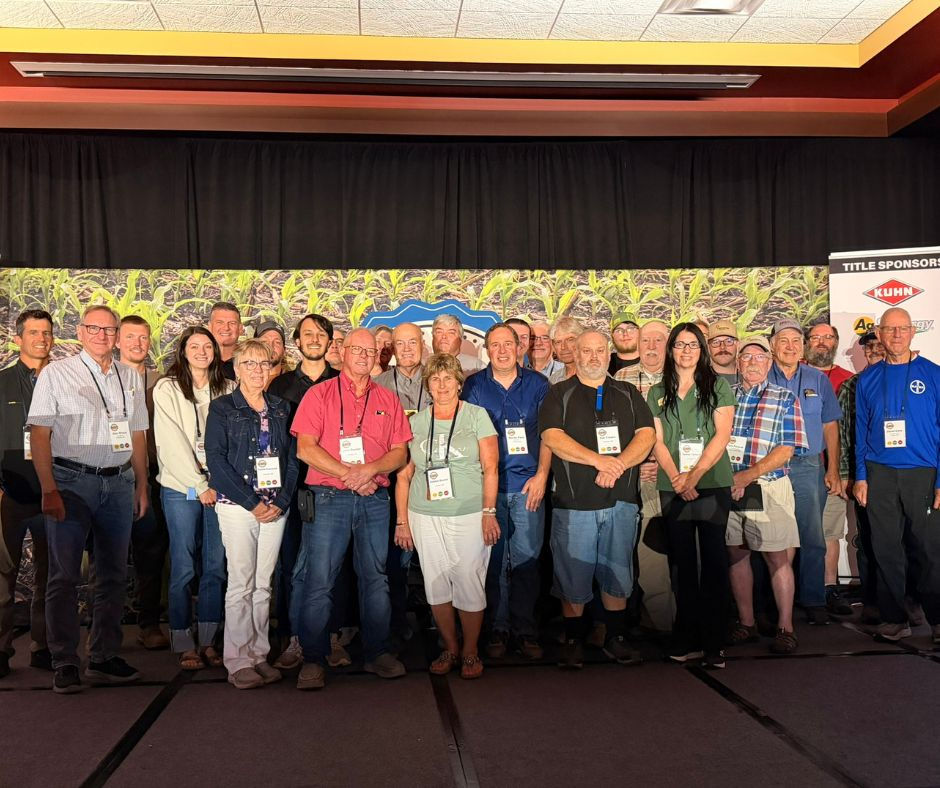
More than 40 local lawmakers, county staff, and conservation professionals from six counties and Soil and Water Conservation Districts (SWCDs) toured conservation projects in the Cannon River Watershed this August, getting a firsthand look at efforts to reduce flooding, protect water quality, and improve natural resources.
The tour was organized by the Cannon River Watershed Joint Powers Organization (CRWJPO) and focused on the lakes region in the upper Cannon River Watershed in southeast Le Sueur County and southwest Rice County. The tour highlighted projects that have recently been completed or are currently underway.
The CRWJPO was created in 2020 to develop and implement the Cannon River Comprehensive Watershed Management Plan, a single, 10-year plan that guides conservation efforts throughout the watershed. Before the CRWJPO was formed, individual local governments were responsible for developing their own water management plans.
Today, the CRWJPO brings together six counties, six SWCDs, one watershed district, and one watershed management organization. By working together, the partners can focus resources on the most significant threats to water resources and implement projects that provide the greatest benefit across the watershed.
Because the watershed includes a wide variety of land uses and landscapes, conservation priorities differ from one area to another. This year's tour focused on projects addressing flooding, shoreline protection, stormwater runoff, and lake monitoring.
Wetland Restoration Provides Flood Storage

The first stop featured a 37-acre wetland storage and restoration project presented by Mike Schultz, Le Sueur Soil & Water Conservation District (SWCD). Completed in 2026, the project converted an existing drained wetland meadow back to conditions more closely resembling its historic, pre-drained state.
The project includes the restored wetland and an upland bluff area and is protected through a 25-year easement negotiated with the landowner and renter. Once fully functioning, the engineered storage basin will be capable of temporarily impounding water for up to 12 days, helping reduce downstream flooding risks.
The basin is designed to withstand a 100-year flood event and can store up to 38.4 acre-feet of water. In addition to providing flood-storage benefits, the project is expected to reduce an estimated 47.7 tons of sediment, 5,720 pounds of total nitrogen, and 215 pounds of total phosphorus each year from entering the Cannon River system. It will also provide valuable habitat to waterfowl, amphibians, and pollinators.
The project is one example of the CRWJPO's efforts to use natural and engineered conservation practices to slow water and reduce the impacts of flooding downstream.
Native Plants Protect Shorelines

The second stop showcased a native shoreline and rain garden project on Lake Volney presented by Holly Bushman and Trevor Rudenick from Le Sueur County Environmental Services.
Completed in 2015, the project included a 100-foot-long, 4-foot-wide native shoreline buffer and a 100-square-foot rain garden designed to capture stormwater runoff. More than a decade later, the project continues to thrive and remains well maintained.
Native vegetation helps stabilize the shoreline, capture and filter runoff and pollutants, and provide habitat for wildlife. The project also demonstrated how relatively small conservation practices can provide multiple benefits while improving the appearance and ecological health of a property.
Monitoring Lakes to Better Understand Water Quality
The final stop took place at Cannon Lake in Rice County, where participants learned about the CRWJPO's lake monitoring efforts.
Al Henderson, Rice SWCD, discussed algal bloom sampling conducted by the CRWJPO on four lakes during the summer of 2025 for the Minnesota Pollution Control Agency. Emmie Scheffler, Rice SWCD, and Trevor Rudenick explained the lake sampling currently being conducted by the CRWJPO.
The organization is using local funds to collect data from lakes that do not currently have sufficient information available. Building a more complete picture of water quality across the watershed will help CRWJPO staff and its governing board identify priorities during the next revision of the watershed management plan.
Conservation implementation will continue throughout the current Cannon River Comprehensive Watershed Management Plan, which is scheduled to be revised in 2030. Because funding is received on a two-year cycle, the CRWJPO is continuing to implement activities identified in the current work plan while also developing projects for the next round of funding.
Public input is welcome as watershed priorities continue to evolve. More information about the Cannon River Comprehensive Watershed Management Plan and the CRWJPO is available at https://www.cannonriverwatershedmn.gov/.

Comments